.png)
Geographical of Information System (GIS)
J-Sharp
Technology has been founded by a group of experienced and young technologists
with background in aerospace & geo-informatics engineering. This
Mission of J-Sharp Technology Labs is to provide best in class Data
Visualization and Analysis services Using SLAM technology for Drone Data/Lidar
Data. * Drone survey * Door to door data
collection * Mapping & 3D * GEO- Tagging * Digitization * Property
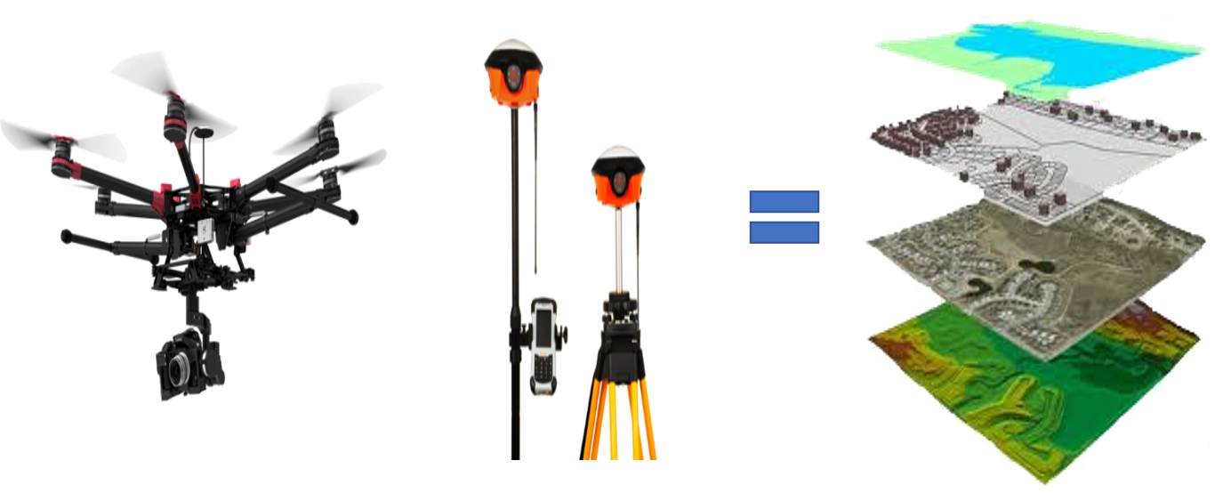
measurement Drone Survey- ·
Whether
its hazardous site or typical river Morphology, our Drones can survey large
area with high precision in a short span of time. ·
Our
DSM, Ortho photo & Contours are accurate down to couple of centimeter which
makes X, Y, Z very easy. Door to door data collection In GIS first of all we are
collecting data from households through Mobile App. Mapping & 3D Modle ·
Mapping
zones/areas is an important part of geographic information system, we provide
solutions through accurate Ortho photos & 3D Models of sites.Our
data is compatible with many GIS software like Arc GIS, QGIS, auto CAD etc. SERVICES §
Archeological
Site Mapping §
Real
Estate 3D Modeling §
Mapping
of Coastal Area. §
Industrial
Zone Mapping. §
Flood
Analysis. Digitization After mapping and 3D Model we implement all data and digitalize the map Property measurement
After
digitalization we are ready to property measurements.